
Google is testing a new extreme battery saver mode for Google Maps designed to keep you moving when your phone is near dead. The mode strips the app down to the bare essentials so navigation can continue while using as little power as possible.
The feature appeared in a recent beta and is currently dormant, but leaked assets and code hints show how it would work and where Google might use it first.
What the mode does?
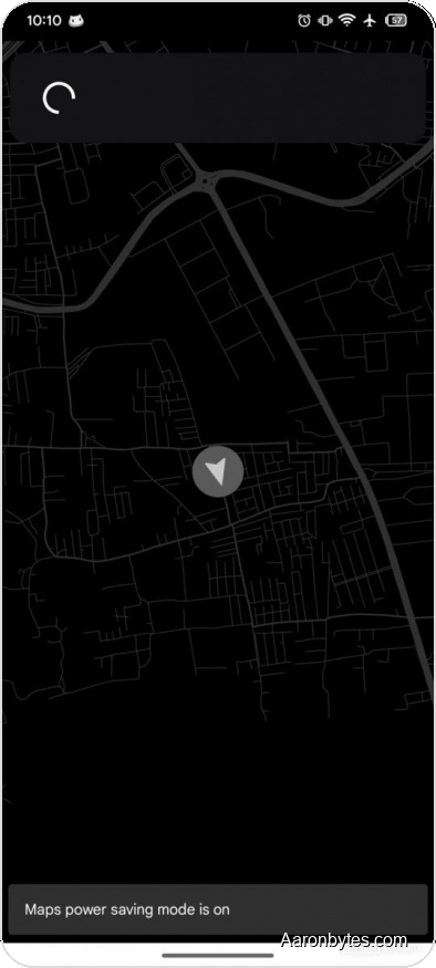
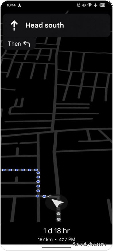
In the beta, the mode turns Maps into a minimalist, monochrome navigator. The app would display only vector street outlines, your chosen route, and turn-by-turn directions.
All other interface elements would be removed, including points of interest and even street names. The goal is to reduce GPU, CPU, and network activity by limiting what the app renders and downloads.
Where and how it works
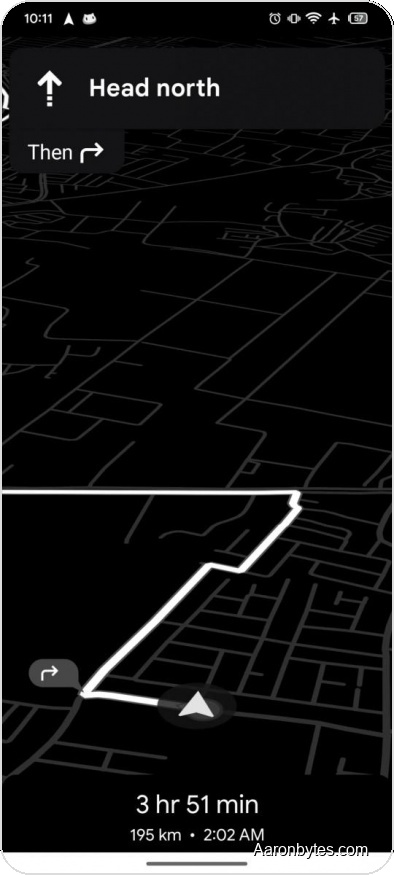
The code indicates the extreme saver will support driving and walking navigation, including voice guidance. Public transit routes are not supported, likely because they require more on-screen data and frequent information updates.
It also explicitly notes the mode will not operate in landscape orientation.
How to enable it and what’s unknown?
According to the beta strings, the mode could be activated with a press of the lock button for quick access. It is unclear whether activation will be gated by a low battery threshold or available at any time.
Google has not announced when—or if—this feature will reach the stable app. For now it remains a promising addition for those situations when you need to get somewhere with only a few percent of battery left.